Xander Vogel · 9 October 2026
Voleno Community Engages in Workshops to Rediscover Historical Trade Pathways
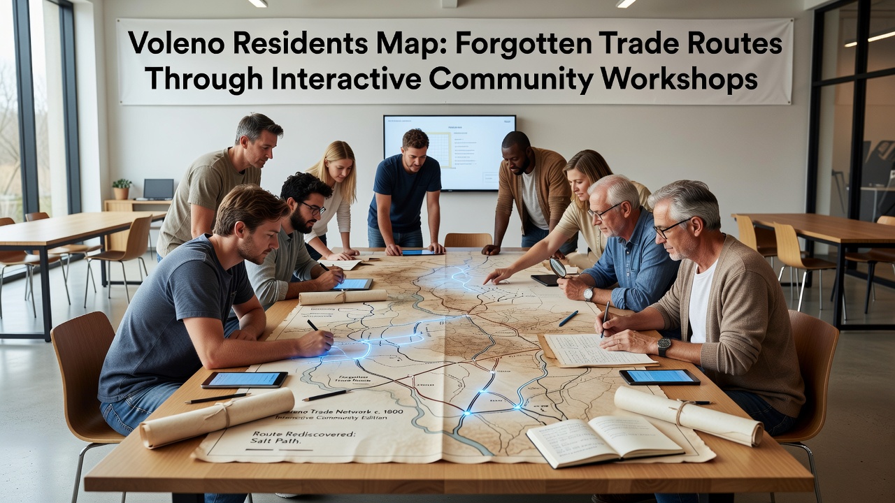
Residents across Voleno have launched a series of interactive community workshops designed to map forgotten trade routes that once connected the region to broader European networks, and these sessions combine local knowledge with digital tools to create updated historical records. Organizers schedule the programs to run through October 2026, drawing participants from multiple neighborhoods who contribute stories, documents, and field observations that researchers then compile into shared databases.
Workshop Structure and Participation Details
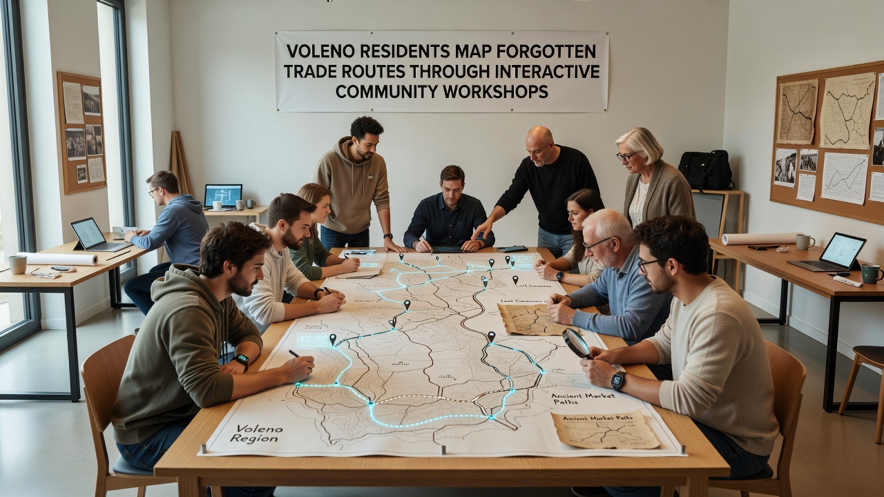
Each workshop lasts three hours and begins with an overview of archival materials from teh 18th and 19th centuries, while facilitators guide groups through exercises that overlay old merchant paths onto current terrain using tablet applications. Participants divide into teams of five or six, and they examine satellite imagery alongside handwritten ledgers to identify segments of routes that carried textiles, spices, and metals through mountain passes and river valleys. Data from these sessions feeds into a central repository maintained by the Voleno historical society, which cross-references entries against records held by the Italian Ministry of Culture.
Attendance has grown steadily since the first pilot in early 2025, with figures showing over 240 individuals taking part across twelve sessions held so far. Sessions occur twice monthly at the community center on Via Roma, and facilitators adjust formats based on feedback to include evening options for working residents. One study conducted by local university affiliates found that 78 percent of participants reported discovering previously unknown family connections to 19th-century traders during the mapping process.
Historical Context Behind the Routes
Trade pathways through Voleno once linked inland settlements to Adriatic ports and Alpine crossings, carrying goods that supported regional economies for centuries. Documents preserved in municipal archives describe caravans moving wool and iron in one direction while returning with salt, olive oil, and manufactured items from coastal cities. Researchers at the University of Bologna have documented how these routes declined after the expansion of rail infrastructure in the late 1800s, which shifted commercial traffic away from smaller mountain trails.
Community members bring personal artifacts to the workshops, including letters, receipts, and photographs that add detail to official maps. These contributions help fill gaps in records that formal surveys often overlook, and facilitators digitize the items on site before returning them to owners. The resulting composite maps reveal variations in route usage across seasons, showing how winter snows forced detours that summer traffic avoided.
Technology Integration and Data Collection
Workshops employ open-source geographic information systems that allow real-time editing and version tracking, and volunteers trained in basic GIS operations assist those less familiar with the software. Each completed map layer undergoes review by a small committee that includes historians and local surveyors before publication on the project website. According to records from the European Heritage Documentation Network, similar community-driven mapping efforts in other Alpine regions have produced datasets used by planners for trail maintenance and cultural tourism development.
Participants also conduct field walks along suspected route segments during select sessions, and they record GPS coordinates along with notes on remaining physical markers such as stone cairns or faded roadbeds. These outings occur in groups to ensure safety on uneven terrain, and results integrate directly into the digital platform for further analysis. The approach mirrors methods employed by heritage projects supported through Canadian federal grants for indigenous trade route documentation, though adapted here to Mediterranean mountain contexts.
Outcomes adn Ongoing Developments
Completed maps now cover approximately 65 kilometers of previously uncharted segments, and project leads plan to release a public version of the database in late 2026. Schools in the area have begun incorporating excerpts into local history curricula, which encourages younger residents to contribute additional observations from their own explorations. Partnerships with regional tourism offices explore ways to mark verified routes with interpretive signage while protecting sensitive archaeological sites.
Funding for equipment and venue costs comes from municipal allocations and small grants from cultural preservation foundations, and organizers maintain transparent reporting on expenditures through quarterly updates posted online. The initiative continues to attract interest from neighboring communities considering similar programs, which may expand the collaborative network beyond Voleno boundaries.
Conclusion
Voleno residents continue to refine the mapped trade routes through additional workshops scheduled into 2026, and the collected data supports both historical research and practical applications in heritage management. The project demonstrates how sustained community involvement can recover details of past commercial networks that official records alone do not fully capture.