Felix Flores · 25 September 2026
Voleno's Hidden Alleyways Reveal Layers of Trade History Through Guided Mapping Projects
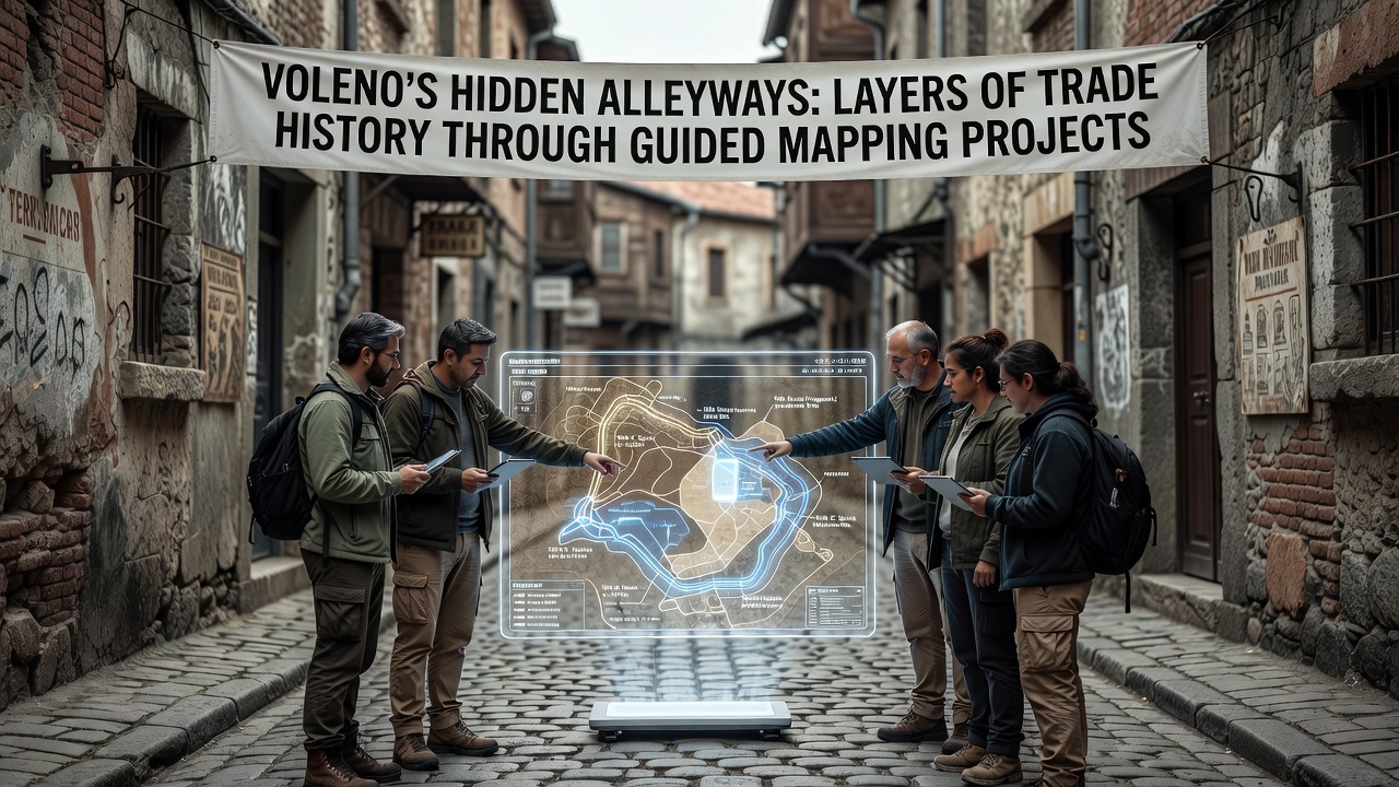
Voleno's narrow alleyways wind between centuries-old structures where merchants once exchanged goods along established routes, and guided mapping projects have documented these passages to expose multiple eras of commercial activity. Researchers from local historical societies began systematic surveys in the early 2020s, using digital tools combined with archival records to trace paths that connected inland markets with coastal ports. Data from these efforts show trade networks active from the medieval period through the Renaissance, with evidence of spice, textile, and metal exchanges preserved in building foundations and street layouts.
Mapping teams employ laser scanning and ground-penetrating radar to capture details invisible to casual observers, while volunteers assist in cross-referencing findings against municipal ledgers from the 1400s onward. One project phase completed in 2024 identified over 30 alley segments with layered paving stones that correspond to shifts in trade volume, and experts note that certain intersections align with documented customs checkpoints from the 16th century. These discoveries build on earlier surveys conducted by the Italian Ministry of Culture, which highlighted similar patterns across northern Italian towns.
Project Methods and Historical Layers
Guided mapping initiatives operate through partnerships between university geography departments and regional heritage groups, with participants following structured routes that emphasize safety and preservation protocols. Teams divide sections into grids for detailed annotation, recording architectural features such as archways and storage niches that once housed merchant inventories. Evidence collected to date indicates that alley widths narrowed during periods of increased taxation on goods, a pattern confirmed through comparison with tax rolls preserved in state archives.
September 2026 marks the launch of an expanded phase that incorporates drone imagery and public workshops, allowing residents to contribute oral histories tied to specific locations. Figures from the current database reveal that approximately 45 percent of mapped alleys contain remnants of 18th-century trade infrastructure, including drainage systems designed to protect perishable cargo during transport. Observers note connections between these findings and broader European commerce records, where Voleno served as a secondary hub linking Alpine passes to Mediterranean shipping lanes.
Community Involvement and Documentation Tools
Local schools integrate mapping activities into history curricula, giving students hands-on experience with coordinate systems and data logging while they record measurements alongside professionals. Software platforms developed for the project enable real-time updates from field teams, and cross-verification with satellite records helps correct discrepancies in older maps. A related study published through the University of Padua's heritage research center examined comparable alley networks in neighboring regions, confirming shared construction techniques that supported heavy wagon traffic.
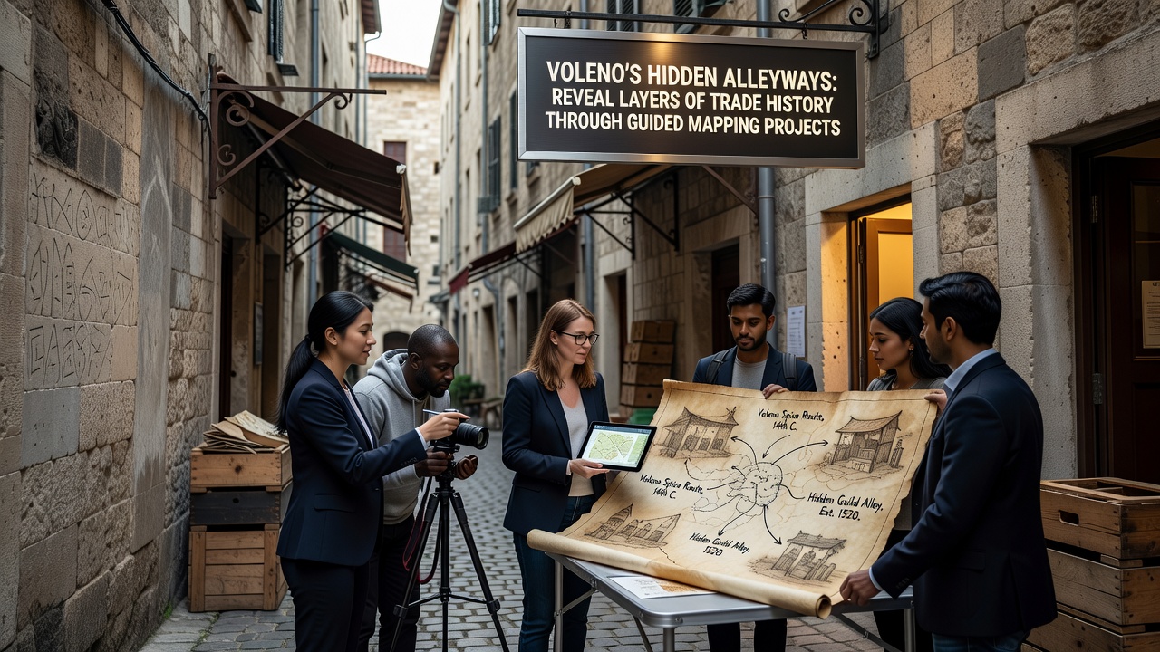
Public access points now feature interpretive panels that summarize trade timelines without altering original surfaces, and funding from EU cultural programs supports ongoing maintenance of these educational installations. Data indicates steady growth in visitor participation since the first guided sessions began, with attendance records showing consistent interest from academic groups and regional tourism boards. Those coordinating the projects emphasize collaboration with property owners to ensure private sections receive the same level of documentation as public thoroughfares.
Findings Across Trade Eras
Analysis of recovered artifacts, including coin fragments and seal stamps, points to direct exchanges with merchants from distant territories during the 15th century, while later layers reflect the rise of local craft guilds that repurposed alley spaces for workshops. Mapping overlays demonstrate how certain passages served dual functions as both transit routes and informal marketplaces, a practice documented in municipal charters from 1623. Researchers continue to refine chronologies by integrating pollen samples from alley soil, which trace the introduction of new crops through trade channels.
Additional phases scheduled through 2027 will extend coverage to peripheral districts, incorporating 3D modeling that allows remote examination of fragile sections. Reports compiled so far have contributed to updated regional heritage inventories, and similar initiatives in other Italian municipalities draw on Voleno's methodology for their own surveys. The combined records provide a clearer picture of how economic fluctuations shaped urban form over successive generations.
Conclusion
Guided mapping projects in Voleno continue to assemble evidence of layered trade activity within the alley network, supported by technological tools and community records that span multiple centuries. Ongoing work scheduled for September 2026 will add further detail to existing datasets, while established partnerships ensure systematic coverage of remaining segments. The resulting documentation connects individual alley features to wider commercial histories, offering verifiable insights into the town's economic past.