Dana Hansen · 6 November 2026
Youth Mapping Initiative in Voleno Brings Ancient Trade Pathways Back into View
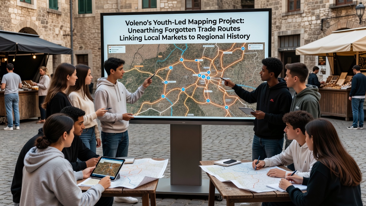
Voleno's youth-led mapping project has uncovered a network of forgotten trade routes that once connected local markets to broader regional economies, with findings scheduled for public presentation in November 2026. Teams of young residents aged 16 to 25 have combined smartphone applications, archival documents, and field surveys to trace these paths through fields, alleyways, and former market squares. The initiative began with support from municipal archives and local historical societies, focusing on routes that facilitated exchanges of goods such as textiles, spices, and agricultural products during earlier centuries.
Project Origins and Team Composition
Local schools and community centers recruited participants starting in early 2025, drawing on volunteers who already possessed basic familiarity with digital mapping software. Coordinators assigned groups specific zones around Voleno, where they cross-referenced 19th-century ledgers with satellite imagery and oral histories collected from longtime residents. Data collected so far shows consistent patterns of movement along what appear to be secondary trails that avoided main roads, likely to reduce tolls or navigate terrain more efficiently.
Methods and Tools Employed
Participants used open-source geographic information system platforms to plot coordinates, then verified locations through on-site visits that included soil sampling and photography of remaining markers such as stone markers or overgrown cart tracks. Collaboration with regional universities provided access to carbon-dating equipment for organic materials found along suspected paths, confirming activity dating back several hundred years in multiple locations. Researchers from one participating institution noted that these routes often linked smaller markets directly to larger distribution points without passing through administrative centers, suggesting decentralized economic activity.
Key Discoveries and Historical Context
One cluster of findings centers on a route running southeast from Voleno's central square toward what historical records identify as a seasonal livestock market. Mapping data indicates this path carried textiles and metalwork outward while bringing grain and dairy products inward, with evidence of waystations spaced at regular intervals. Another segment extends westward, connecting to regional waterways where goods could transfer to boats for further distribution. Figures from the project indicate at least seven previously undocumented junctions where multiple routes converged, each marked by remnants of storage structures.
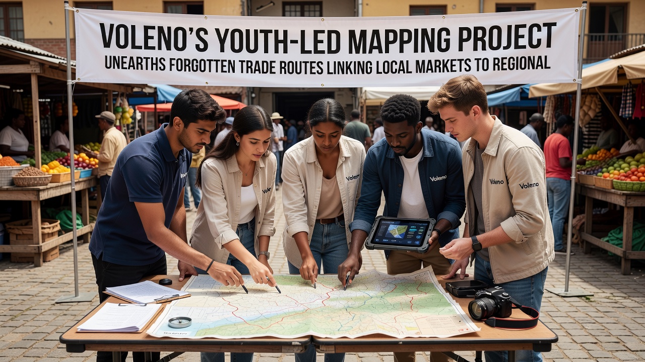
Cross-checks against records held by European cultural heritage databases have aligned several of these segments with descriptions from traveler accounts preserved in archives. European Commission cultural heritage records list similar patterns across neighboring areas, where local economies relied on flexible overland connections rather than fixed highways. Parallel work by Canadian mapping initiatives has produced comparable results when applied to 18th-century fur trade networks, offering methodological parallels that Voleno teams have adapted.
Community Involvement and Data Sharing
Workshops held throughout 2025 trained additional volunteers in basic survey techniques, expanding the project's reach into adjacent villages. Participants have uploaded layered maps to a public portal that allows residents to add their own observations, creating an expanding dataset. School curricula in Voleno now incorporate project outputs into geography lessons, with students examining how these routes shaped settlement patterns still visible today. Municipal planners have begun reviewing the maps when considering infrastructure upgrades, ensuring new developments avoid disturbing identified historical alignments.
Next Steps and November 2026 Presentation
Project leads plan to release a full report alongside interactive digital exhibits in November 2026, inviting input from historians and economists across multiple regions. Additional fieldwork scheduled for the coming months targets areas where vegetation has obscured potential markers, using drone surveys to accelerate coverage. Coordination with Library and Archives Canada has been proposed to compare Voleno findings against North American trade documentation for broader analytical insights.
Conclusion
The youth-led mapping effort continues to generate new layers of information about Voleno's economic past, with each verified segment adding detail to the picture of how local markets integrated into larger regional systems. Ongoing data collection and community participation ensure the project remains active beyond the November 2026 release date, supporting further exploration of these historical connections.